New NOAA Mapping Tool Tracks Shifts in West Coast Fisheries
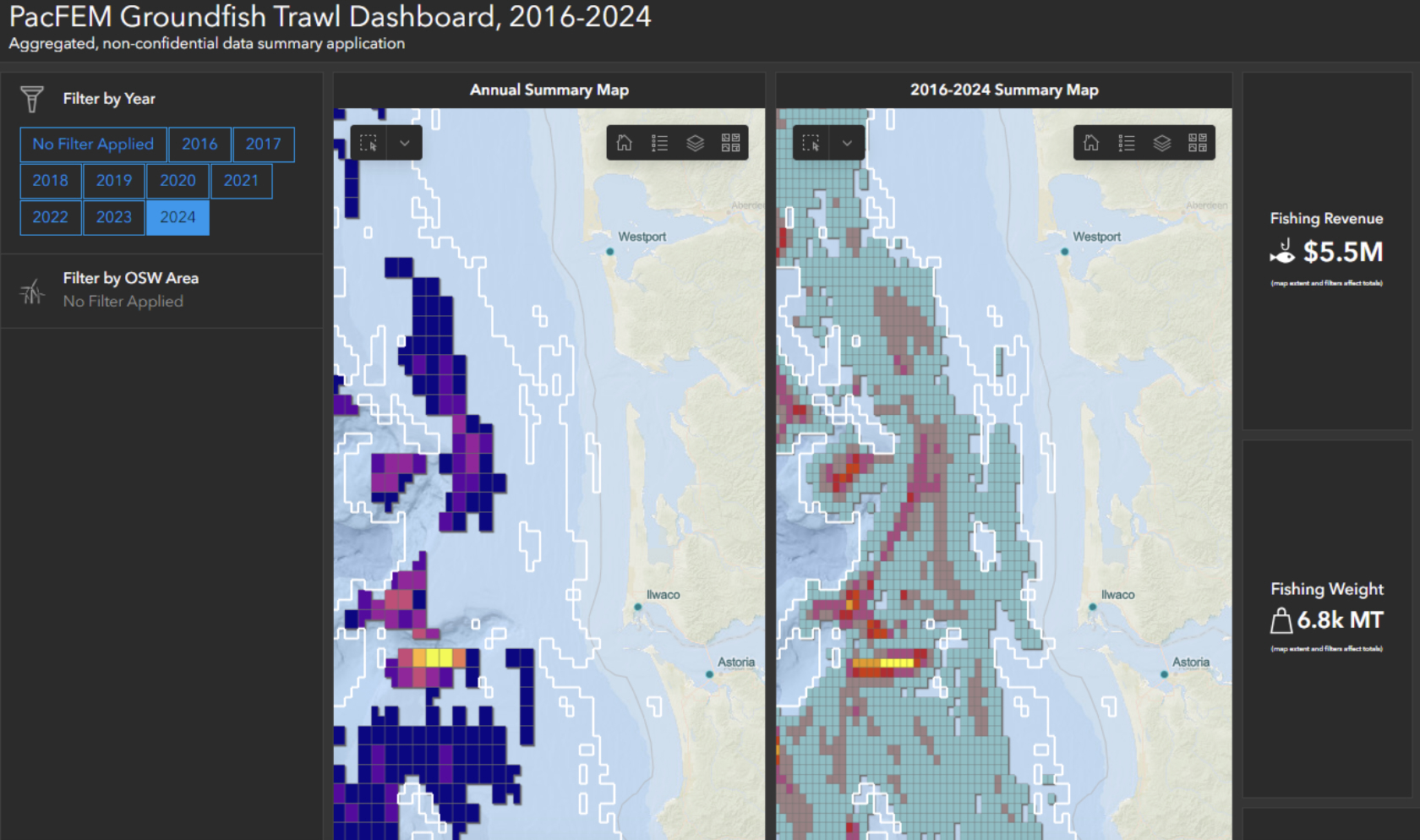 A new public mapping system is giving regulators, industry and coastal communities a clearer view of how West Coast fisheries have shifted over time and how they may overlap with other ocean uses.
The Pacific Fishing Effort Mapping Project, led by researchers at NOAA, state wildlife agencies and the Pacific States Marine Fisheries Commission, combines decades of fisheries data with landings and economic information to create maps and dashboards for major West Coast fisheries.
“By combining all this data into one place to visualize...
To Read Full Story Login Below.