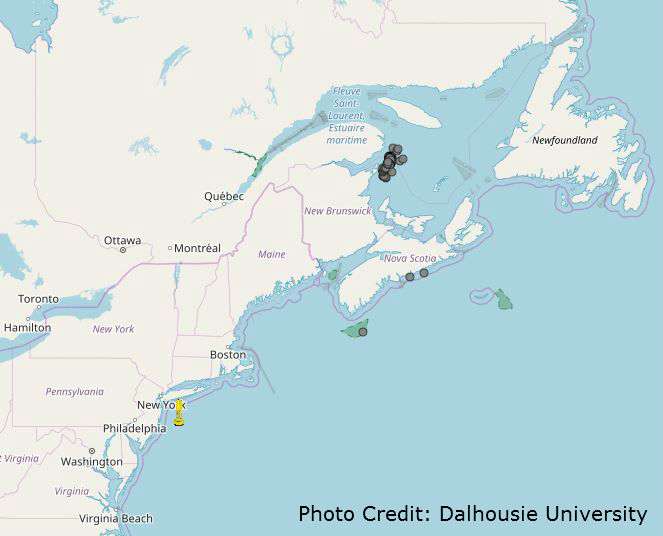
Interactive Map Provides Real-Time Whale Detection to Aid in Protection of North Atlantic Right Whales
SEAFOODNEWS.COM [SeafoodNews] - June 7, 2018
 As part of the continued effort to protect endangered North Atlantic Right Whales, an interactive mapping tool that displays known locations of the whales has been made available on the Fisheries and Ocean’s (DFO) Canada website.
The interactive map, called The WhaleMap, was developed by Dalhousie University Oceanography PhD student Hansen Johnson. The map allows users to view recent right whale detections, as well as surveillance efforts and protection measures. The map works in real-time with ...
To Read Full Story Login Below.